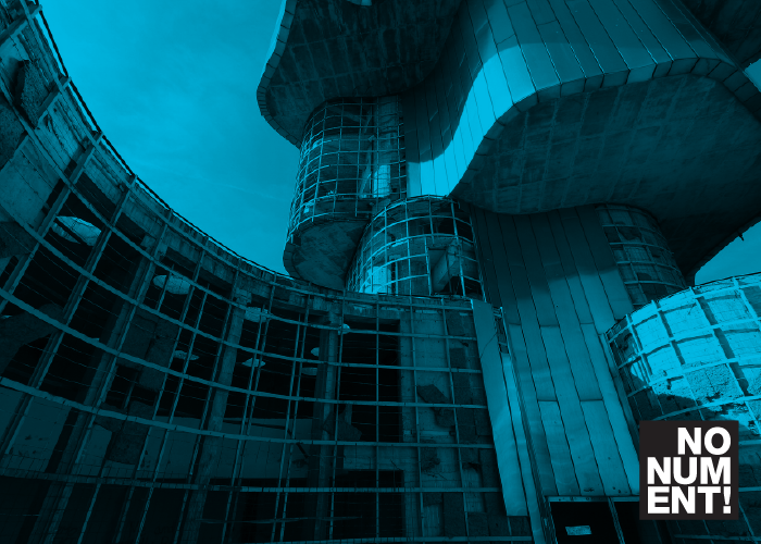
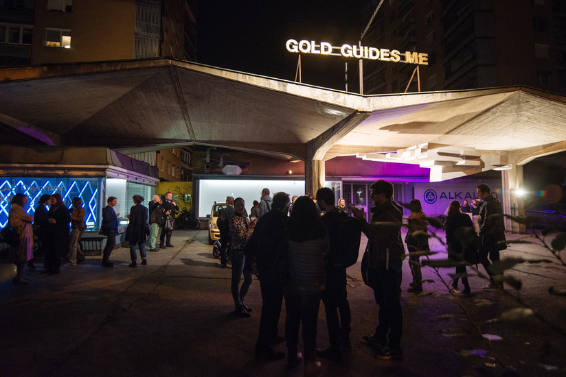
MAPS – Mapping and Archiving Public Spaces project aims to identify, map and archive public spaces, architecture and monuments which are part of our cultural heritage, but are not yet identified as such. Through oral histories, creative digital tools and active audience participation, MAPS develops a methodology of redefining the role of public spaces, and an approach of rethinking monuments as places, which carry significant symbolic power for the inhabitants, the immediate users of those public spaces. MAPS finds creative ways to present cultural heritage and builds a geo-location based participatory online platform and mobile app, which informs public on the importance of cultural heritage and allows users to co-create its content.
The basis for the platform is a map-based archive, consisting of (art) historical and architectural data and photos of the location, which present its history and current state. Selected locations include video documentaries, interviews with the community and field recordings, and VR models of the sites. With digitization of cultural heritage and participatory models MAPS democratizes the process of preserving cultural heritage and develops audiences through their direct involvement in the project. MAPS promotes transnational mobility through researchers, who travel to locations, artists, who stay in residencies to develop site-specific interventions and creative technologists, who engage in training and development of tools. All the achievements are presented on symposia and promoted through a vast network of offline and online channels.
By researching, collecting, mapping and archiving the forgotten, decaying and otherwise overlooked gems of architecture, monuments and public spaces, we are making an important contribution in sustaining and reviving the European heritage. Through reuse, repurpose and revitalization of public spaces and monuments, MAPS connects the missing dots and adds to the mosaic of European memory and identity.

